 Deskripsi :
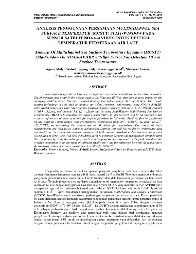
Sea surface temperatures have a great influence on weather conditions and terrestrial climates. The phenomena that occur in the oceans such as La Nina and El Nino also have a great impact on the changing world weather. For that required data of sea surface temperature up to date. The remote sensing technology can be used to monitor up-to-date seawater temperatures using NOAAs AVHRRrated NOAA radios that have three thermal infrared channels, namely channel 3 (3.33-3.93 m), channel 4 (10.3 -11,3m), and channel 5 (11,5 – 12m) and by using Split-Window Multichannel Sea Surface Temperature (MCSTT) to calculate sea surface temperature. In this research will be an analysis of the accuracy of the use of these equations for tropical perariran in Indonesia. Field verification performed on the coast in Tuban region with geographical coordinates (6.83099 o – 6.76149 112,101 o EL) by measuring the temperature at 30 points for comparison. The results of these measurements are then tested statistics Kolmogorov-Smirnov test and the results of temperature data obtained from the calculation and measurement of both normal distribution then because the normal distribution is done t test with 95% confidence level to compare between the temperature obtained from the calculation by using the value gray pixels with temperature measurements in the field turned out the average population is not the same or different significantly and the difference between the temperature shown image with temperature measurement results of 0.9886 o C
Universitas Esa Unggul
Penulis :
- AGUNG MULYO WIDODO, ST, M.Sc
- Ir. NIZIRWAN ANWAR, MT
Download :


